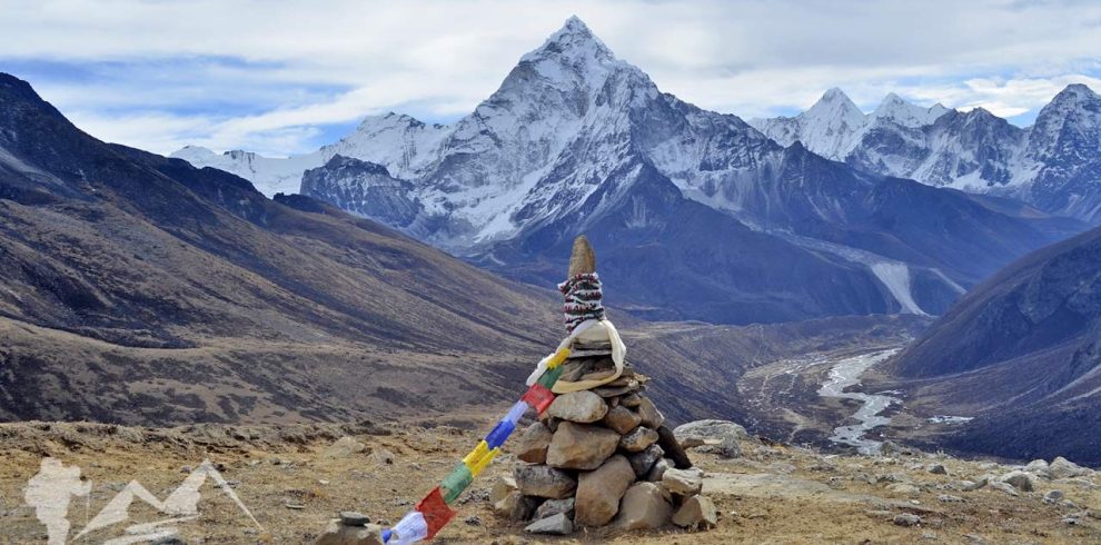
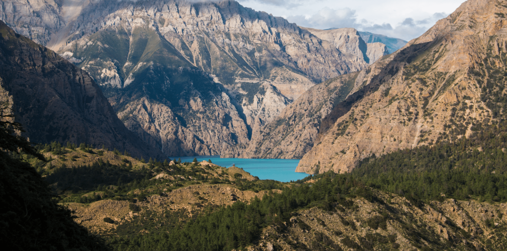
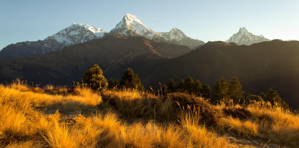
The Makalu Base Camp Trek is located in eastern Nepal, within the protected Makalu Barun National Park, bordering Tibet (China). The trek leads to the base camp of Mount Makalu (8,485 m), the fifth-highest mountain in the world.
This region is one of Nepal’s most remote and pristine trekking areas, featuring deep river valleys, dense forests, high alpine meadows, and massive glaciers. The trek offers spectacular views of Makalu, Everest, Lhotse, Baruntse, and Chamlang, while passing through traditional Rai and Sherpa villages. Due to its isolation and challenging terrain, Makalu Base Camp remains uncrowded and ideal for serious trekkers seeking wilderness.
The Makalu Base Camp Trek is a demanding and adventurous trek suitable for experienced trekkers. It offers an exceptional blend of rugged Himalayan scenery, rich biodiversity, and cultural encounters. The trail crosses high passes, glacial valleys, and remote settlements, making it one of Nepal’s true expedition-style treks.
Trip Info
-
3 Star Hotel and tea houses
-
Tumlingtar
-
Mar - May | Sep - Nov
-
4,870 m (Makalu Base Camp)
-
Breakfast and Dinner
-
VISA, Master Card, Cash
-
Air, Jeep, Bus
-
5 - 7 hours
-
Very Limited (Paid)
Detailed Itinerary (22 Days)
After your arrival, we will escort you from Tribhuvan International Airport, Kathmandu to the hotel. You have then complete day-off or visit the city on your own, but we will be definitely happy to guide you around the city.
Permit processing, equipment check, and optional sightseeing. In the evening, a warm welcome dinner after your Trek briefing and preparations.
Early after breakfast, we will drive to the domestic Air terminal at the Airport and take a 50 minutes scenic flight with breathtaking views of Mountains to Tumlingtar, the town in the Sankhuwasabha district of Koshi Province between the Arun and Sabha rivers. Tumlingtar is the starting point of the Makalu Base Camp trek. From Tumlingtar, about 3 hours jeep drive on a bumpy road takes to your first camp at Chichila.
Scenic flight to eastern Nepal with views of the Himalayas.
Duration : 35 min flight ( 2- 4 hrs drive) | Distance : ~186 km / 116 miles by air, (35- 40 km drive)
Witness early view of Makalu Mountain. Today, you will cross the glaciated river and move through the forest of bamboos and rhododendron to small villages of Sherpa and Rai ethnics. You will then descend to Num village which is located atop the ridge above Arun koshi River. Overnight in Num.
Trek through forested trails with views of Arun Valley.
Duration : 5-6 hrs | Ascent : ~300 m | Descent : ~750 m | Distance : ~15 km
Descending from Num, you will go past forest and terraced farmlands to reach Lumbang settlement. From there, you will descend further to Arun River. Following the slippery path to Arun Koshi River, you will then cross a suspension bridge and follow the ascending trail uphill to Sedua. We will stay overnight in a large camping site in Sedua / Seduwa, which serves as the entry point for Makalu Barun National Park. You need to show your trekking permits to officials in Seduwa.
Steep descent to the Arun River, then climb to Seduwa village.
Duration : 5-6 h | Ascent : ~800 m | Descent : ~830 m | Distance : ~8-9 km
Today’s trek is short, taking just 3-4 hours. you will take an easy walk through rivulets, Mani walls, meadows, and terraces, and reach the top of the ridge over Ipsuwa and Kasuwa rivers. You will pass through crop fields in small Sherpa villages. All the way through the crop fields, you will reach Tashi Gaon village to overnight.
Gradual ascent through traditional villages and forests.
Duration : 5–6 hr | Ascent : ~700 m | Descent : ~100 -150 m | Distance : ~8.9 km
You will ascend along with colorful rhododendron and oak forest, cross rivulets at few points to arrive at a beautiful green meadow, the cattle grazing land for the locals. The surrounding is crowded with Shepherd huts (Chipla). You will follow the steep trail via Kharka and take stone steps to Khongma which is situated atop the ridge. Overnight in Khongma Danda.
Challenging uphill trek into alpine terrain with panoramic views.
Duration : 6-7 h | Ascent : ~1,400 m | Descent : ~100 m | Distance : ~7.5 km
Instead of sitting idle in your teahouse or tent, an active rest day is highly recommended to stimulate red blood cell production:
The standard practice is a 3-to-4-hour round-trip acclimatization uphike toward the Khongma La ridge line, elevating roughly 300–370 m. up to an ascent of 3,870 m. You will walk a 5-km-long trail along an alpine trail decorated with chortens and stones. The top offers panoramic views of the total Barun Valley, views of the surrounding Himalayas and the world's fifth-highest mountain, Mt. Makalu (8,485m). After spending sometime, letting your body get acclimatized, you will descend back down to the lower altitude of Kongma Danda to rest and sleep.
Witness the beautiful views of Chamlang Mountain (7321m) and other peaks. You will walk along the prayer flags all the way to the foothill of Shipton Pass, then stroll along the ridge through a rhododendron forest to Ghungru La (4050m). After a brief descend from Ghungru La will take you to a small turquoise blue lake. You will cross Shipton La Pass (4,200 m) and arrive at Keke la Pass. You will descend to valley full of rhododendron at Mumbuk and walk ahead to Dobato.
Cross high passes and ridgelines with dramatic mountain scenery.
Duration : 6–7 hours | Ascent : ~850 m | Descent : ~600 m | Distance : ~8–9 km
From Dobato, pass through the Rhododendron forest leading to the Baruni River and the upper areas of the valley. Continue ahead a pleasant walk, gaining the altitude gradually until you arrive at Yang Kharka situated at the base of the valley.
Descend into the Barun Valley through alpine meadows.
Duration : 6-7 hours | Ascent : ~400 m | Descent : ~640 m. | Distance : ~9 km
Continue deeper into remote glacial terrain. This is a high-altitude day, and the jump from 3,557 → 4,410 m is remarkable. A slow, steady pace is recommended. Langmale is the last and main overnight stop before the Makalu Base Camp (4,870 m) .
Duration : 5.5–6.5 hrs | Ascent : ~800–850 m | Descent : ~50–100 m | Distance : ~9–10 km
Reach Makalu Base Camp with breathtaking views of Makalu’s south face.
Duration : 5–6 hrs | Ascent : ~460–500 m | Descent : ~50–100 m | Distance :~8.7 km
Explore surrounding glaciers and viewpoints (5,150 m) for acclimatization.
Duration : 4–5 hrs | Ascent : 280 m | Descent : 280 m | Distance : ~6 km
Routes : Makalu Base Camp 4,870 m → Shershong ~4,630 m → Langmale 4,410 m→ Merek → Yangri Kharka 3,557 m
Today is a long downhill day. The distance is substantial and the rocky upper section can be tiring on your knees. Starting around 06:30 am gives you a good margin for breaks and slow walking at altitude. You will loss your elevation ~1,313 m.
Descend back through the Barun Valley.
Duration : 7–8 hours | Ascent : ~100–200 m. | Descent : ~1,400–1,500 m | Distance : ~16 km
Today is not simply a downhill day. You descend toward the Barun River, cross the landslide/river section, then make a climb back through forest to Dobato.
Retrace trail crossing alpine landscapes.
Duration : 6-7 h | Ascent : ~640 m | Descent : ~400 m | Distance : ~9.3km
Routes : Dobato 3,650 m → Keke La 4,170 m → Kalo Pokhari → Shipton La 4,200 m → Sano Pokhari Danda → Khongma La 3,890 m → Khongma Danda 3,500 m
Steady ascent back to high ridges. This is essentially the reverse of the famous four-pass section you crossed onthe outward journey.
Duration : 6-7 hrs | Ascent : ~600 m | Descent : ~850 m | Distance : ~8–9 km
This is the return descent from Khongma Danda to Tashigaon. The route is substantiallyeasier than Tashigaon → Khongma Danda, but it is still a long, steep descenton stone steps. This is primarily a downhill day, so the main issue is not altitude but knee and thigh-fatigue from the long descent and stone steps. A trekking pole is particularly useful here.
Descend to greener landscapes and villages.
Duration : 5–6 hours | Ascent : ~100 m | Descent : ~1,400 m | Distance : ~7.5 km
This is the return leg of the Makalu Base Camp trek. It is substantially easier than Seduwa → Tashigaon because you are losing about 570 m of elevation, although the trail has some short climbs and undulations.
Return through forested trails and rural settlements.
Duration : 4 - 5 hrs | Ascent : ~150 m | Descent : ~700 m | Distance : ~8.9 km
This is the reverse of Num → Seduwa. The key feature is that you descend from Seduwa toward the Arun River, then make a long, steep climb back up to Num.
Descend to Arun River and climb to Num.
Duration : 5-6 hrs | Ascent : ~800 m | Descent : ~800 m | Distance : ~8-9 km
Routes : Num 1,570 m → Khandbari ~1,020 m → Tumlingtar ~430 m |
Final trekking day followed by short drive.
Duration : 4-5 hrs jeep drive | Ascent : ~100–200 m | Descent : ~1,100–1,150 m | Distance : ~55/60 km
Return flight to Kathmandu and hotel transfer.
Duration : 35 min flight | Distance : 186 km (116 miles) by air
Transfer to airport for onward journey. Thank you
Services Includes & Excludes
What’s Included
- Airport pick-up & drop-off
- Domestic flights (Kathmandu–Tumlingtar–Kathmandu)
- Ground transportation as per itinerary
- Makalu Barun National Park permit
- Licensed English-speaking trekking guide
- Porters (1 porter for 2 trekkers)
- Teahouse & camping accommodation during trek
- Kathmandu hotel (as per package)
- Breakfast and Dinner during trekking days
- First-aid kit and emergency support
What’s Not Included
- International airfare
- Nepal visa fee
- Travel insurance (mandatory incl. rescue)
- Lunches during trek
- Personal trekking equipment
- Hot showers, WiFi, charging fees
- Alcoholic & soft drinks
- Tips for guides and porters
- Extra costs due to delays or weather
FAQs – Makalu Base Camp Trek
Yes, it is a challenging trek suitable for experienced trekkers.
Yes, some sections require basic camping due to limited teahouses.
It is one of Nepal’s most remote trekking regions with minimal infrastructure.
Red pandas, Himalayan tahr, and diverse bird species are found in the park.
Yes, proper acclimatization is essential and included in the itinerary.